same day delivery
ORDER BY 12 PM MON-SAT*
Beautiful Flowers
ORDER ONLINE NOW
free support
M-FRI: 9-5, SAT: 9-3
same day delivery
ORDER BY 12 PM MON-SAT*
Beautiful Flowers
ORDER ONLINE NOW
free support
M-FRI: 9-5, SAT: 9-3
Send Flowers to Harts, West Virginia
✓ Same-day delivery available in Harts ✓ Fresh flowers hand-arranged by local florists ✓ Order online or call (855) 311-1110
Order fresh flowers for delivery in Harts, West Virginia. Our local florist partners create beautiful bouquets for birthdays, sympathy,
anniversaries, and everyday occasions with reliable same-day delivery.
-

Dreams From The Heart
from: $179.00Select options This product has multiple variants. The options may be chosen on the product pageQuick View -
Hydrangea Simplicity
from: $93.00Select options This product has multiple variants. The options may be chosen on the product pageQuick View -
Basket of Memories
from: $140.00Select options This product has multiple variants. The options may be chosen on the product pageQuick View -
Fairest Of All
from: $114.00Select options This product has multiple variants. The options may be chosen on the product pageQuick View -
Brightly Blooming
from: $86.00Select options This product has multiple variants. The options may be chosen on the product pageQuick View -
Juicy Fruit
from: $162.00Select options This product has multiple variants. The options may be chosen on the product pageQuick View -
Festive Pines Bouquet
from: $100.00Select options This product has multiple variants. The options may be chosen on the product pageQuick View -
Ocean Breeze Spray
from: $233.00Select options This product has multiple variants. The options may be chosen on the product pageQuick View -
Queen’s Court
from: $185.00Select options This product has multiple variants. The options may be chosen on the product pageQuick View -
Seaside Centerpiece
from: $140.00Select options This product has multiple variants. The options may be chosen on the product pageQuick View -
Queen’s Reign
from: $272.00Select options This product has multiple variants. The options may be chosen on the product pageQuick View -
A Full Life
from: $142.00Select options This product has multiple variants. The options may be chosen on the product pageQuick View -
Make Her Day
from: $96.00Select options This product has multiple variants. The options may be chosen on the product pageQuick View -
Rose Rendezvous
from: $93.00Select options This product has multiple variants. The options may be chosen on the product pageQuick View -
Pop Princess
from: $179.00Select options This product has multiple variants. The options may be chosen on the product pageQuick View -
Daisy Duck
from: $207.00Select options This product has multiple variants. The options may be chosen on the product pageQuick View -
Madly In Love With Red Roses
from: $123.00Select options This product has multiple variants. The options may be chosen on the product pageQuick View -
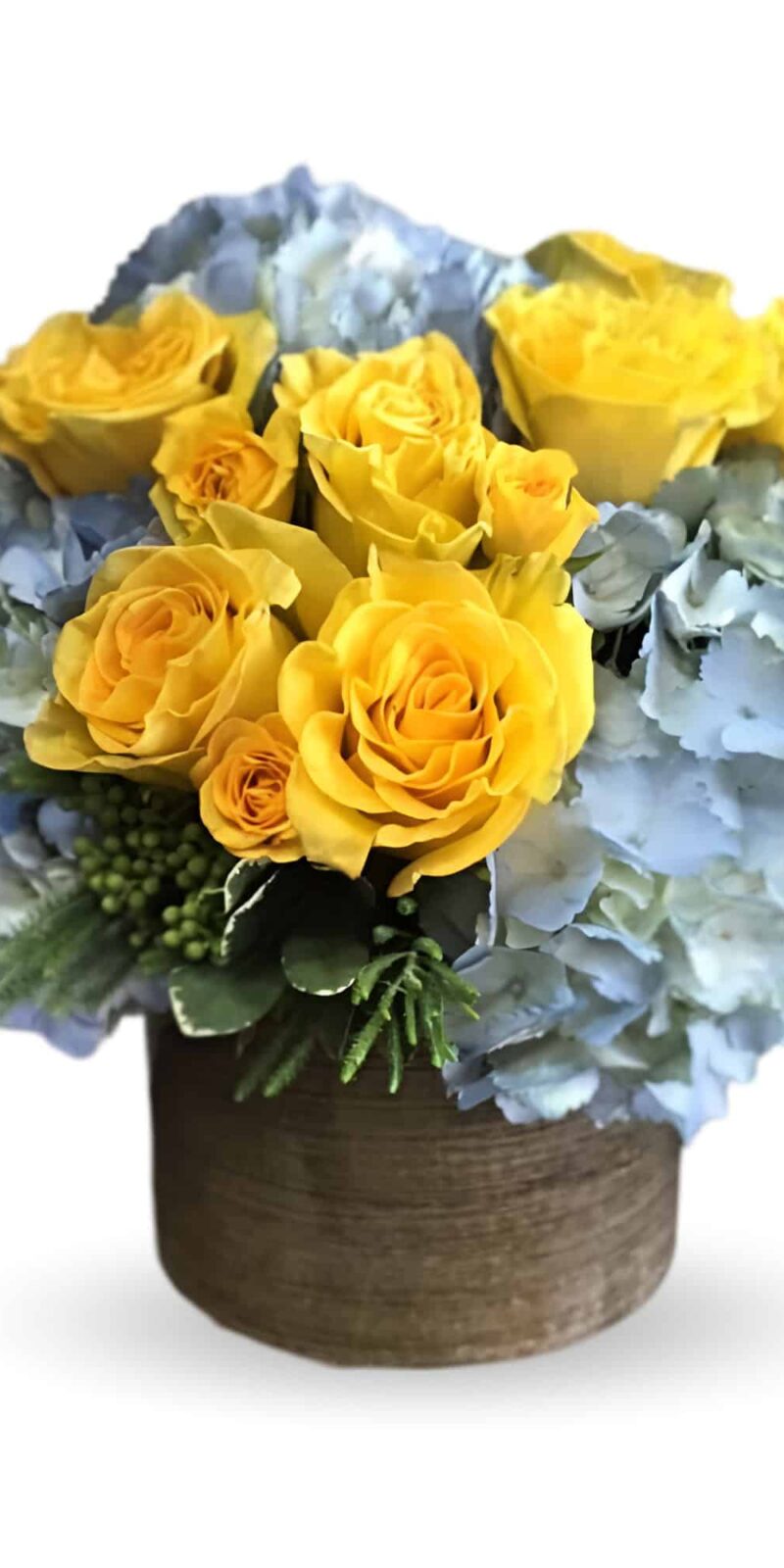
Sunny
from: $111.00Select options This product has multiple variants. The options may be chosen on the product pageQuick View -
You’re Golden Bouquet
from: $93.00Select options This product has multiple variants. The options may be chosen on the product pageQuick View -
Fall Elegance
from: $114.00Select options This product has multiple variants. The options may be chosen on the product pageQuick View -
Lavish Love
from: $129.00Select options This product has multiple variants. The options may be chosen on the product pageQuick View -
1 Dozen Pink Roses
from: $114.00Select options This product has multiple variants. The options may be chosen on the product pageQuick View -
Gracious Lavender Basket
from: $179.00Select options This product has multiple variants. The options may be chosen on the product pageQuick View -
Barbies Friend
from: $179.00Select options This product has multiple variants. The options may be chosen on the product pageQuick View
Flower Delivery Near Harts, West Virginia:
Harts Zip Codes:
25524
Send Flowers to Harts, WV
Need to send flowers in Harts, West Virginia?
Choose from fresh bouquets designed for birthdays, anniversaries, celebrations, sympathy, or everyday moments.
Our florist partners provide reliable same-day delivery when you order before the daily cutoff time.
Any Occasion Flower Delivery
Flowers are a thoughtful way to celebrate life’s moments in Harts, WV.
Our florist partners create fresh arrangements designed for birthdays, anniversaries, celebrations, sympathy, and everyday gifts.
Sympathy Flowers Delivered
Sympathy flower arrangements help honor and remember loved ones.
Many families choose sympathy flowers as a symbol of love and remembrance.
Flowers for Hospital Delivery
Fresh flowers delivered to a hospital room can create a cheerful atmosphere.
Many florists provide same-day hospital delivery for thoughtful get-well gifts.
Assisted Living Flower Delivery
Flower delivery helps families stay connected with loved ones in senior communities.
Fresh flowers create a warm and uplifting atmosphere.
We proudly provide flower delivery throughout Harts, WV and nearby areas.
Flower delivery helps people stay connected and share meaningful moments.
We help customers send thoughtful floral gifts with reliable delivery service.

We love what we do and it shows.
✓La Tulipe Flowers proudly offers dependable flower delivery in Harts, WV and nearby communities.
✓Every arrangement is carefully handcrafted by skilled floral designers.
✓Whether you’re celebrating a birthday, sending sympathy, or surprising someone special, we make it easy to deliver beautiful flowers.
✓Simply order online and we’ll arrange reliable delivery right to their door.

Unmatched service and detail to any occasions!
Annie is a sweetie and really goes out of her way!
Keep up the magic with Mother Nature!!
Unmatched service and detail to any occasions!
Annie is a sweetie and really goes out of her way!
Keep up the magic with Mother Nature!!
I am editing my review because the Customer service representative , Annie, followed up on my problem after reading this review and got to the bottom of my problem. She called me personally and we got flowers out to my friend on time. Thank you Annie!
I am editing my review because the Customer service representative , Annie, followed up on my problem after reading this review and got to the bottom of my problem. She called me personally and we got flowers out to my friend on time. Thank you Annie!
A party that night. They created two of exactly what I had asked for. I wanted low profile, white flowers with greenery in a silver vase. (60th Anniversary party). Super helpful, great communication. I found my new go to florist!
A party that night. They created two of exactly what I had asked for. I wanted low profile, white flowers with greenery in a silver vase. (60th Anniversary party). Super helpful, great communication. I found my new go to florist!

Featured Products
-
Blue Sky from: $114.00
-
Sasha from: $267.00
-
Barbies Friend from: $179.00
Best Sellers
-
Beautiful in Blue from: $93.00
-
Designers Choice from: $85.00
-
Smile For Me from: $81.00
Latest Products
-
Ainslee Moon from: $150.00
-
Lexi Lavender $267.00
-
Newport Beach from: $239.00
Customer Favorites
-
Ainslee Moon from: $150.00
-
Lexi Lavender $267.00
-
Newport Beach from: $239.00

